The trekking in Alta Via dell'Ossola takes one on a discovery journey of a large area of the Alps on the border with the Swiss territory.
This route is distinguished by its historical actuality, leading us along very ancient paths, but above all it is distinguished by the incredible range of natural landscapes that follow one another throughout the various valleys.
All along the long trail, to be carried out over several days, we will discover the Veglia-Devero Park and the Antrona Valley Park, among the most surprising in Piedmont thanks to the indescribable richness of their nature and landscapes that distinguishes them.
In Val Bognanco we will be able to admire green panoramas that will lead our gaze to Monte Rosa and the Sempione chain.
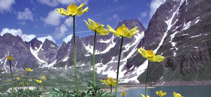
Val Formazza will enchant us with the vastness of its Alps and the clarity of its alpine lakes.
For information relating to the refuges along the route, we recommend that you refer to AGRAP – Associazione Gestori Rifugi Alpini e posti tappa del Piemonte