An itinerary of medium difficulty and suitable for the summer period.
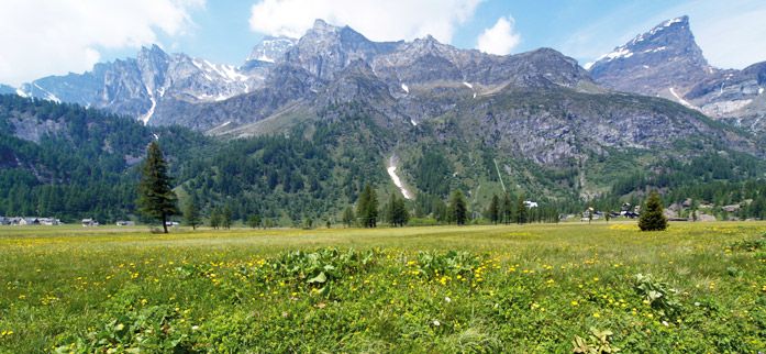
The route is one of the most beautiful and complete in the entire Ossola Valley: from the Devero you can reach the Formazza Valley by skirting the Codelago basin with the Punta d’Arbola framing it. The stretch of trail that goes up from the Canaleccio Valley to Alpe Forno Inferiore is challenging because it has very steep slopes.
After leaving the car at the end of the first tunnel along the road that leads to Alpe Devero, it is possible to reach the Alpe Devero plain by mountain bike: after a few bends you will reach the Crampiolo huts and, continuing along the mule track, the Codelago Dam. After passing the lake, continue along the path, reaching the plain of Alpe Forno Inferiore after passing some bends that are difficult to pedal through.
Go along the next stony stretch of pathway with some hairpin curves to come out on Scatta Minoia where you meet the Conti bivouac. Carefully descend on the path that runs along the Punta della Satta and crosses some steep slopes up to Alpe Cortenova. Continue along the Vannino Dam following the path on its right side and you reach the Margaroli Refuge. Go on along the path that leads to the village of Canza, where it joins the Valle Formazza state road.
Continue on along the asphalt road that alternates downhill stretches with long sloping areas and in correspondence to the hamlet of Piedilago there is a short climb up to Premia, then the trail goes down to Baceno, Crodo, Crevoladossola and reaches Domodossola.
Data source: © Municipality of Domodossola - www.visitossola.it