Starting point
Outside the Istituto Auxologico hospital at Piancavallo.
How to get there
By car
From Verbania Intra, taking the road for Premeno and continuing upwards (23 km).
By train
The nearest railway station is Verbania
By bus
See the VCO in bus website
Short description
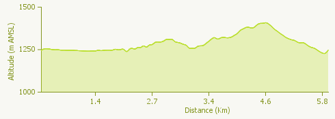
The itinerary provides walkers with a stunning panoramic view of Lake Maggiore and the surrounding mountains. Of great interest during the walk are the military fortifications of the Linea Cadorna, a defensive line built between 1915 and 1917.
The route
From Piancavallo take the scenic military road, passing the turnoff for the side road to a military lookout post. A walk of about 30 minutes takes you to the path that goes down to Cannero, via Alpe Ronno and Oggiogno.
Continue along the path enjoying the incomparable view of Lake Maggiore below you, to the first military fortification, where there is also a drinking fountain. The route now goes through a series of tunnels until you arrive at a spectacular viewpoint with three crosses. From here it takes about 15 minutes to reach the top of Mount Morissolo, where the all-round view is even more superb, taking in the lake as well as the mountains of the Val Grande behind it.
Go back down the path to find the signs pointing to Colle. Follow this trail for a short distance, then turn to the left and follow the signs to the hilltop of Morissolino. Passing five military posts, you will reach the top in about 35 minutes.
From the top of the Morissolino hill the view takes in the peaks of Montorfano, Monte Massone, Proman, Monte Zeda and Morissolo, and ranges from the Lake Maggiore basin to mountains of 4,000 metres, foremost among them Monte Rosa and the Mischabel massif.
To go down, take the path to the south towards Piancavallo (about 20 minutes). Before you arrive back at the car park you may want to stop for something to eat at “La Baita” restaurant.
Useful information
Bus: from Verbania to Premeno/Piancavallo
Refreshment facility: Bar/Restaurant "La Baita", tel. +39 0323 587396